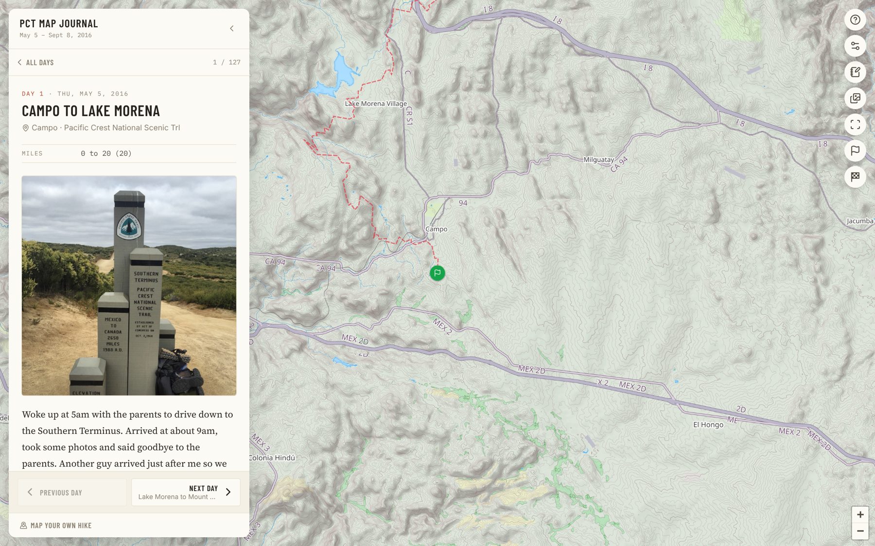
A few days before I started my thru-hike of the Pacific Crest Trail in 2016, I had an idea for an app. I scrambled to build something small that would let friends and family back home follow the hike as it happened. I’d take photos on my phone and upload them to Dropbox whenever I found a signal. A script on a server would watch the folder, pull the GPS coordinates out of each photo, and drop a pin on a map. No writing, no blog posts, no effort. Just hike, take pictures, and let the map fill itself in behind me. It worked beautifully for three days.
I don’t remember exactly what broke, but it was the kind of bug you fix in two minutes at a desk. Except I wasn’t at a desk. I was somewhere in the desert east of San Diego with a phone, a backpack, and 2,600 miles to go. No laptop, no way to SSH in and restart it. The map just stopped, frozen a few dozen miles from the Mexican border, while I kept walking all the way to Canada.
I never fixed it. Once I was on trail, the app stopped mattering. When I got to town I’d post an update on Instagram, usually a summary of the previous week or so, but that was as close to live as it got. (As I wrote in The Road to Now, the blog I’d set up before the hike never got a single post from the trail.) What I did keep was a journal. I started out with a small Moleskine notebook. After a week I mailed it home and switched to the Day One journaling app on my phone — one less thing to carry.
I’d also underestimated how tired I would be at the end of each day. After 20-plus miles, I usually had very little energy left for journaling. Some nights I managed a few paragraphs, other nights just the miles and where I camped. But I always forced myself to take a photo of the campsite, even if it was a terrible, grainy shot of my tent in the dark. Those photos turned out to be the most valuable thing I recorded. Each one was a pin on the map, marking where the day ended.
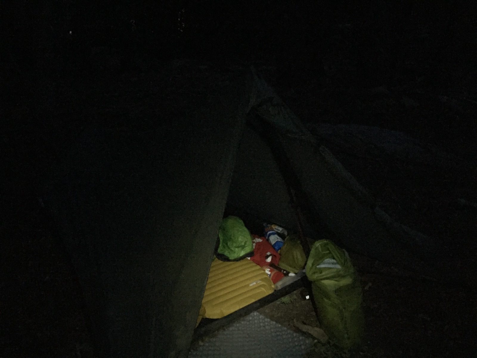
A typical campsite photo. Somewhere near Sierra City, July 2016.
I also carried a Sony RX100 III, a little point-and-shoot meant for “real” photography, as opposed to the quick snaps on my phone. Unlike the phone, though, it didn’t record GPS coordinates, so those photos never had a place on the map. A year after the hike, my apartment was robbed. They took my computer, and the backup drive that happened to be plugged into it at the time. What survived was the phone: the Day One entries and a few hundred photos, which then sat untouched for almost a decade.
I love maps. I can lose an hour scrolling around a topo map of a place I’ll probably never visit. And I’ve always felt that location changes how you read a story. A photo of a ridgeline is a nice photo. Put it on a map, with 400 miles of trail behind it and 2,000 still ahead, and it becomes part of something. A journal entry that says “rough day, feet hurt” reads differently when you can see it was written on a dry stretch of desert, thirty miles from the next water. That’s what I was after in 2016. I wanted people to see where I was, not just what I saw.
This summer, ten years later, I finally finished it. The PCT Journal is a map of the whole hike: 127 journal entries pinned to the spot where I wrote them, and 226 photos plotted where they were taken. You can pick a day from the list or tap a camp marker to read that night’s entry, or just browse the photos and watch the trail slide from desert to the Sierra to the rainforests of Washington. Even the first week is there. I scanned the pages of that Moleskine, had them transcribed, and combined them with my Day One entries, so the journal starts at the Mexican border rather than a week up the trail.
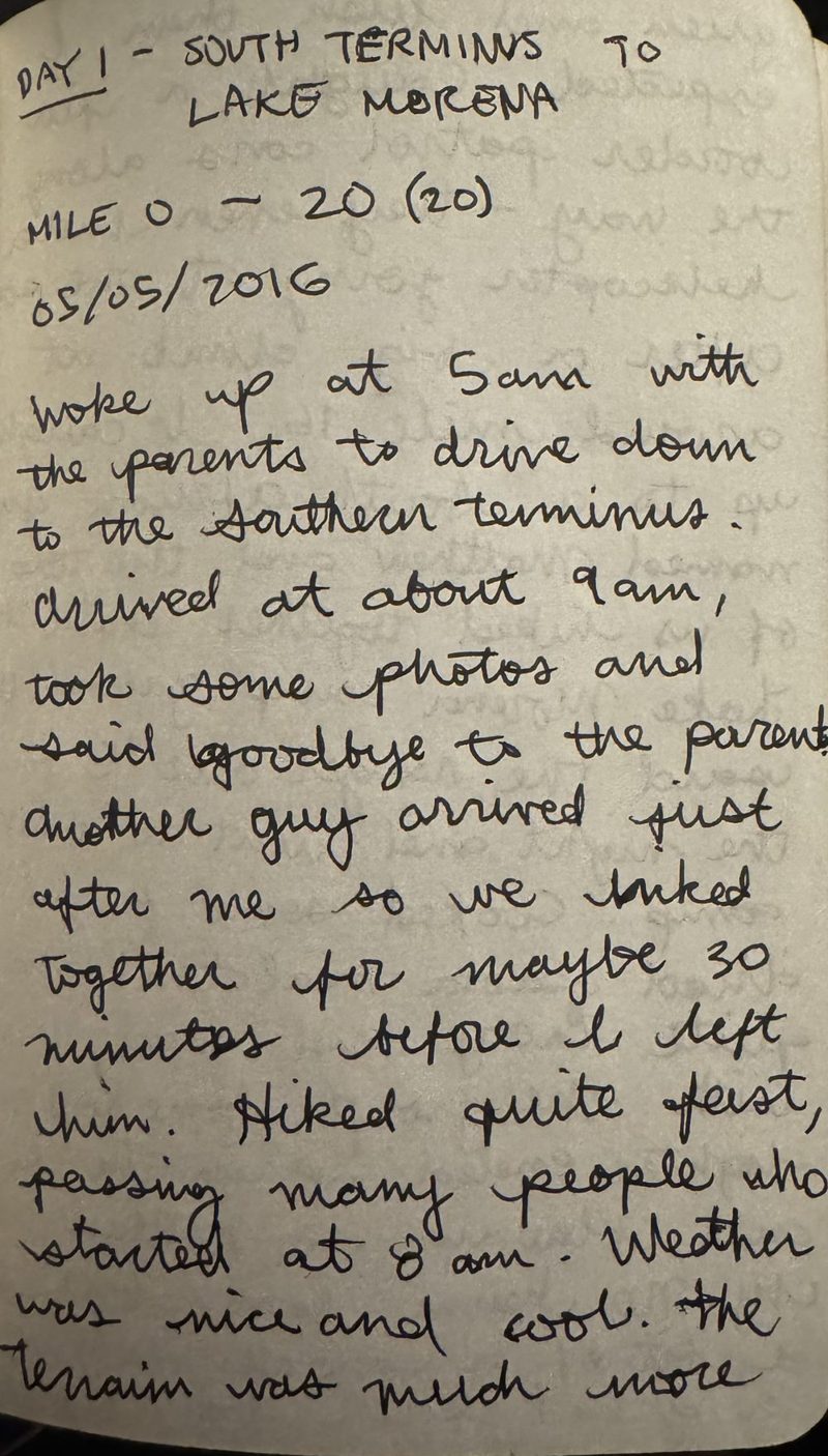
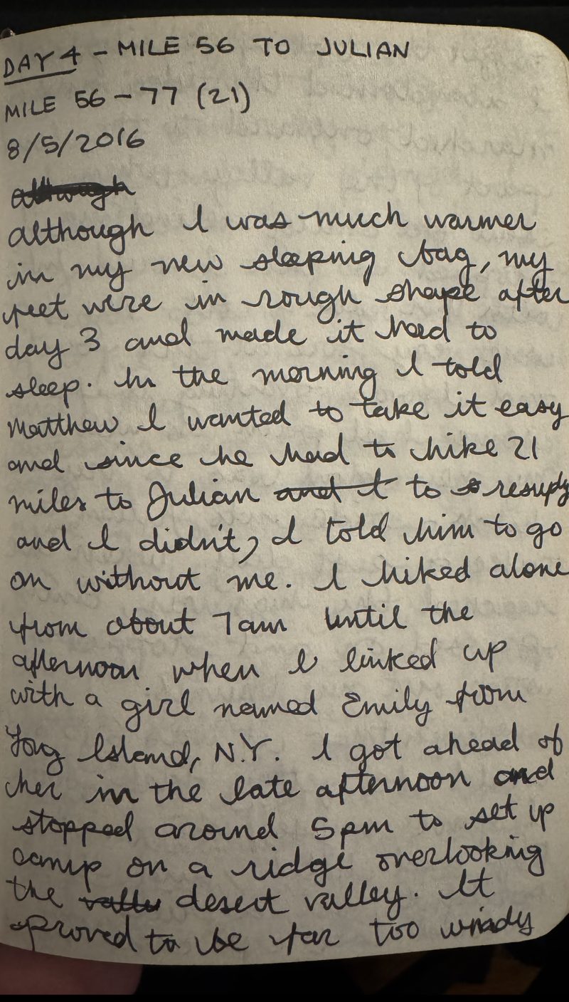
The first page of the Moleskine, and day four, when the map stopped working.
I have a long list of half-built app ideas, and in Close Your Loops I wrote about all the open loops in my life. This was one of the oldest. Without AI, it would probably still be open. I wrote the first few scripts myself, on my laptop, to pull the data out of Day One and match the photos to their coordinates. Most of the interface and the features that came after were built by dictating into the Claude Code app on my phone while I walked my son Charlie around in his stroller. I’d describe a feature, an agent in the cloud would build it, and I’d review it as I walked. Projects like this used to die in the gap between “the interesting part is done” and “it’s actually finished.” That gap is a lot easier to close now.
I kept it deliberately simple: no server, no database, just a static site and a few data files. Partly that’s a lesson from 2016. There’s nothing to crash on day four and nothing to restart. Ten years late, the map finally made it to Canada.
Looking ahead, I don’t think I’m the only hiker who wants something like this. Most people share their hikes on Instagram or Facebook, but those are noisy places for this kind of thing. A hike journal only makes sense in context: each entry leans on where it was written and on the days around it, and the whole thing keeps growing as you go. On social media, a day on trail is just one more post, squeezed between ads, memes and someone’s lunch, and the hike becomes a few months on a profile full of everything else. There’s no map, no sense of the whole journey, and no real home for the long, rambling journal entries that make a thru-hike what it is.
So I recently added a waitlist to the map. I’d like to turn it into a journal that other hikers can use, either live during their hike or to piece it together once they’re done. I’m not sure yet what it will look like, but this time I’ll make sure it doesn’t break on day four.
Ross Noble is a software developer, ultrarunner, podcaster and former van-dweller with a passion for the outdoors. He writes about running, cinema and anything else that interest him.
Montreal, QC